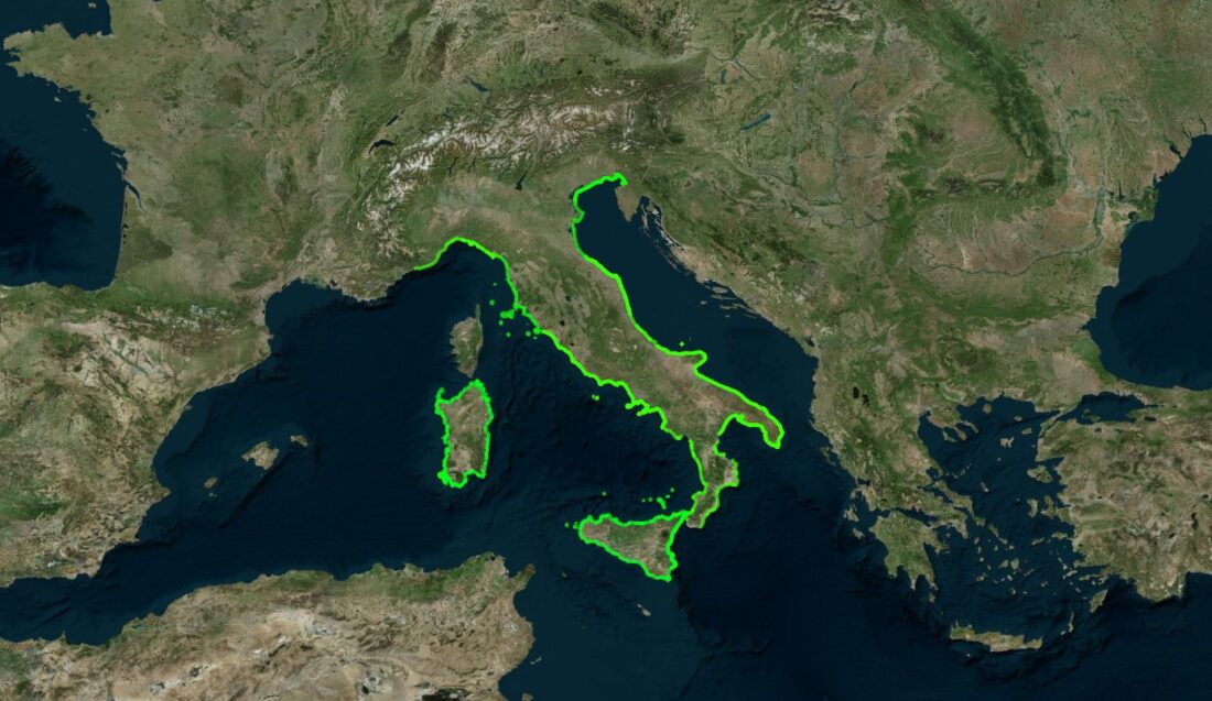
The research and experimentation activity of the Coastal Geomorphology Working Group is always in continuous evolution, both with the development of new studies and research and with the experimentation of technological and IT tools to support scientific work. These activities have recently led to the drafting of numerous publications by the members of the working group and to the creation of a webGIS that collects the bibliography so to speak “georeferenced” for the entire national coastal strip.
The “COSTE” webgis intends to support the free, fast and geo-referenced consultation of the scientific bibliography on coastal dynamics latu sensu: the creation of a cartographic portal is one of the key objectives that the Coastal Geomorphology Working Group has managed to achieve during its activity.
The platform is easy to consult: the entire national coastal strip, divided into administrative regions, constitutes a searchable information level that makes the following metadata available for the linked publications: author, year and name of publication, abstract, title of the journal, key words, geographic coordinates, doi. Further key information is contained in the alphanumeric database.
By selecting the region of interest and clicking on the selected coastline, you can access the database(s) representing the linked scientific works; by clicking on each work, you can consult the available information.
The webgis created is an ongoing tool and is not exhaustive of the current available coastal scientific bibliography: the added value of the platform lies, in fact, in the opportunity to implement the database with new research solutions and to integrate it with publications not yet linked.
LINK AL WEBGIS:


